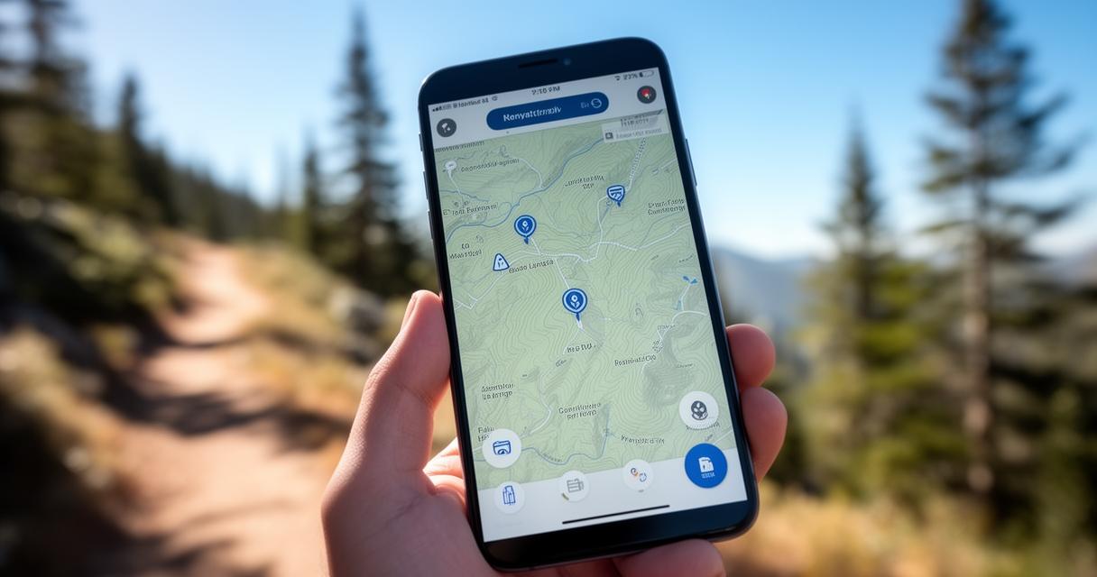
Cycling across the varied landscapes of the United Kingdom, from the winding lanes of Cornwall to the rugged trails of the Scottish Highlands, demands a navigation companion that won't let you down when the signal drops. That's precisely where MAPS.ME comes into its own, offering a lightweight yet powerful solution for cyclists who value reliability over flashy extras. In this review, we'll explore how this offline mapping app holds up against the competition and whether it deserves a permanent spot on your handlebar mount.
What to know
- MAPS.ME is a lightweight, reliable navigation tool that provides detailed offline maps, making it ideal for cycling in remote UK areas with poor mobile signal.
- The app functions independently of mobile data by utilizing satellite-based GPS, allowing users to track their location accurately even in rural landscapes.
- While it lacks the sophisticated turn-by-turn guidance of dedicated cycling apps like Komoot or Ride with GPS, it serves as a valuable backup for hybrid navigation workflows.
- MAPS.ME features a simple, user-friendly interface that is less overwhelming than more complex alternatives like OsmAnd.
- The app excels at surfacing local points of interest such as cafes, bike shops, and water sources without requiring an internet connection.
- Its lightweight design and efficient storage usage make it a practical choice for cyclists who need a dependable, portable navigation tool.
Understanding MAPS.ME: Features and Functionality for UK Cyclists
At its core, MAPS.ME is built around a simple but effective premise: give travellers access to detailed maps without demanding a constant data connection. This makes it particularly appealing for anyone exploring the more remote corners of Britain, where mobile signal can be patchy at best. The app is freely available for Android and can be downloaded straight to your phone, ready to store maps for entire regions before you even set off. Once installed, it becomes part of a broader toolkit that many riders assemble alongside route planners like Komoot, Cycle.travel, and Ride with GPS, each bringing something slightly different to the table for long-distance cycling and international cycle trips.
Offline maps and gps navigation without internet connectivity
The standout feature here is undoubtedly the offline maps functionality. Using GPS cycling apps like this one means your position is tracked accurately via satellite, regardless of whether you have mobile data. This is a genuine boon for rural area mapping, where connectivity often fails precisely when you need directions most. Many seasoned tourers now favour what's become known as a hybrid navigation method, planning routes on desktop platforms and then exporting a GPX export file to use offline in the field. MAPS.ME slots neatly into this workflow, though it's worth noting its turn-by-turn directions are considered somewhat less polished than dedicated GPS cycling apps.
User-friendly interface and seamless location sharing capabilities
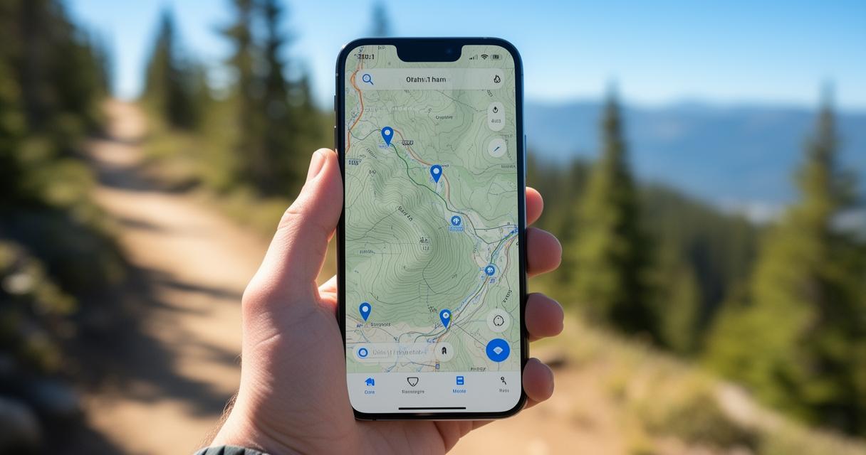
Beyond the core navigation, MAPS.ME impresses with its clear, uncluttered screen interface. Finding your bearings doesn't require a manual, which is refreshing when compared with more complex alternatives such as OsmAnd, whose depth of features can feel overwhelming to newcomers. Sharing your location is also remarkably straightforward, with built-in support for sending your position via WhatsApp, a handy touch for coordinating meet-ups with fellow riders or reassuring family back home during a lengthy expedition.
MAPS.ME vs Google Maps: Why Offline Navigation Matters for Cycling Enthusiasts
It's tempting to assume that Google Maps, given its ubiquity, would be the obvious choice for any cyclist. Yet when you dig a little deeper, the picture becomes more nuanced. Google Maps struggles with completeness in rural areas and its consistency can waver once you stray from major roads, precisely the routes many touring cyclists seek out. MAPS.ME, by contrast, was built with offline use as a foundational principle rather than an afterthought.
Comparing Offline Capabilities and Practical Advantages for Travellers
Where Google Maps requires a connection for most of its richer features, MAPS.ME allows you to download entire countries' worth of mapping data in advance. This proves invaluable for route planning across borders or through areas with limited infrastructure. That said, it isn't without its flaws; some cyclists have noted that its navigation directions can be less refined than those offered by RideWithGPS or Komoot, both of which provide detailed elevation profiles and cycling metrics that serious tourers rely upon. Still, for pure map resilience, having an app that functions entirely without a signal offers peace of mind that few alternatives can match.
Lightweight Design and Portability for On-the-Go Cycling Adventures
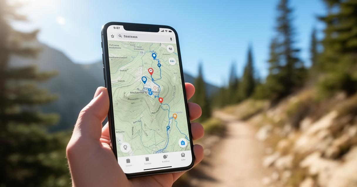
Portability matters enormously when every gram counts on a loaded touring bike, and this extends to the digital tools you carry too. MAPS.ME's modest footprint on your device means it won't hog storage space, unlike some offline-capable rivals that demand hefty downloads. This lightweight design pairs well with dedicated hardware such as the Garmin Edge or Hammerhead Karoo for those wanting a belt-and-braces approach, using a phone app as backup navigation should a dedicated GPS unit fail.
Practical Testing: Using MAPS.ME for Cycling Routes Across the UK
Taking MAPS.ME out on genuine cycling routes reveals both its strengths and its limitations rather clearly. Across several days of testing on mixed terrain, from quiet coastal paths to busier commuter routes, the app consistently held its own as a reliable backup, even if it rarely outshone specialist alternatives during actual turn-by-turn guidance.
Discovering Local Points of Interest and Hidden Cycling Gems
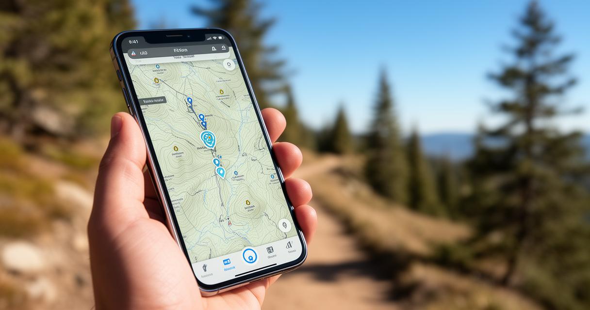
One area where MAPS.ME genuinely shines is in surfacing points of interest along your journey. Cafes, bike shops, water sources, and accommodation options all appear on the map, drawing from OpenStreetMap data much like OsmAnd does, albeit with a considerably friendlier interface. This makes spontaneous detours far less stressful, as you can trust the app to flag nearby amenities without needing an active connection. For anyone who values intuitive planning over exhaustive data, this balance works rather well.
Regular Updates and Database Growth for Enhanced Navigation Experience
MAPS.ME's development team continues to push regular updates, steadily expanding its map database and refining accuracy in previously sparse regions. This ongoing growth matters enormously for cyclists planning international cycle trips, where outdated mapping can lead to frustrating detours. While it may not replace a dedicated route planner like Cycle.travel or the big-picture planning virtues of a good paper map, MAPS.ME earns its place as a dependable, free companion for anyone seeking straightforward offline navigation without unnecessary complexity.